- Home
- Things to see & do
- Outdoor & adventure
- Royal Canal Way
Royal Canal Way
- Linear
- Easy
- 146.30km
- 6 days
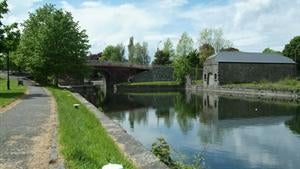
The Royal Canal Way is a picturesque National Waymarked Trail that unfolds from the Dublin banks of the waterway and reaches all the way to County Longford.
A six day, 144km undertaking, this linear trail’s terrain consists of grassy towpath, gravel and tarmac. Between its Dublin and County Longford limits, the idyllic waterway stretches through counties Kildare, Meath and Westmeath too.
Flat underfoot, the Royal Canal Way is an easy, pleasant route that showcases the canal’s abundance of scenery and architectural heritage.
Watch out for captivating wildlife, exceptional examples of centuries-old engineering including stone bridges and canal locks and of course, the odd canal barge too.
There are plenty of welcoming towns along the route for you to stay overnight in or simply take a break in - depending on how much of the trail you take. There are also many public transport options, should you wish to easily return to your start point.
Trail details
- Type:
- Long Distance Waymarked Way
- Location:
- First Lock Cloondara
- Ascent:
- Minimal
- Nearest town start:
- Dublin
- Nearest town finish:
- Cloondara
- Start point:
- First Lock
- Finish point:
- Cloondara
- Waymarking:
- Yellow arrow on black background
- Facilities:
- Car parking
At Start - none
At End - on Street in Cloondara
- Dogs allowed:
- Yes
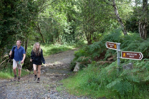
- Wicklow WayThings to see & doHiking
- Howth - Black Linn LoopThings to see & doHiking
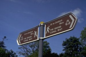
- Grand Canal WayThings to see & doHiking
- The Dubline TrailThings to see & doHiking
- Howth - Cliff Path LoopThings to see & doHiking
- Ticknock - Fairy Castle LoopThings to see & doHiking
- Carrickgollogan - Lead Mines Way - (Orange)Things to see & doHiking
- Barnaslingan - Scalp Lookout Trail (Red)Things to see & doHiking
- Find My IrelandThings to see & doAdventure activities
- HilltoptreksThings to see & doHiking
- Irish Cycling SafarisThings to see & doHiking
- Lambay Nature Walking ToursThings to see & doHiking
